One repository URL, and QGIS handles install and updates from then on.
The OrbGIS Connector puts your portal inside QGIS. Sign in through your browser, add your organization's layers with one click, edit with the full QGIS toolbox, and Save Edits pushes straight back.
One repository URL, and QGIS handles install and updates from then on.
We didn't build a heavy desktop editor. QGIS already is one, the best there is, and it's free. So the Connector is a small panel that connects QGIS (3.34 or later) to your OrbGIS portal. Click Sign in and your browser opens; approve, and you're in. No password is ever typed into QGIS, and your sign-in is stored securely on your machine.
Once signed in, the panel lists your organization's layers. Add to map downloads a layer straight into your project, no save dialogs, no coordinate-system wizardry, and the data arrives in its own coordinate system, so a SWEREF 99 dataset stays SWEREF 99. The layer is live: toggle editing, use whatever QGIS tools you like, snapping, topology checks, the field calculator, and hit Save Edits. Your changes go back to OrbGIS in one go, and web maps pick them up right away.
Publishing new data is a drag: pull a layer from the Layers panel onto the Upload drop zone and it's hosted in your portal, ready to style and share from the web. There are no database credentials on anyone's laptop, the plugin signs in the same way you do. It's free and open source, and installs from our plugin repository: add one URL, and QGIS handles installation and updates from then on.
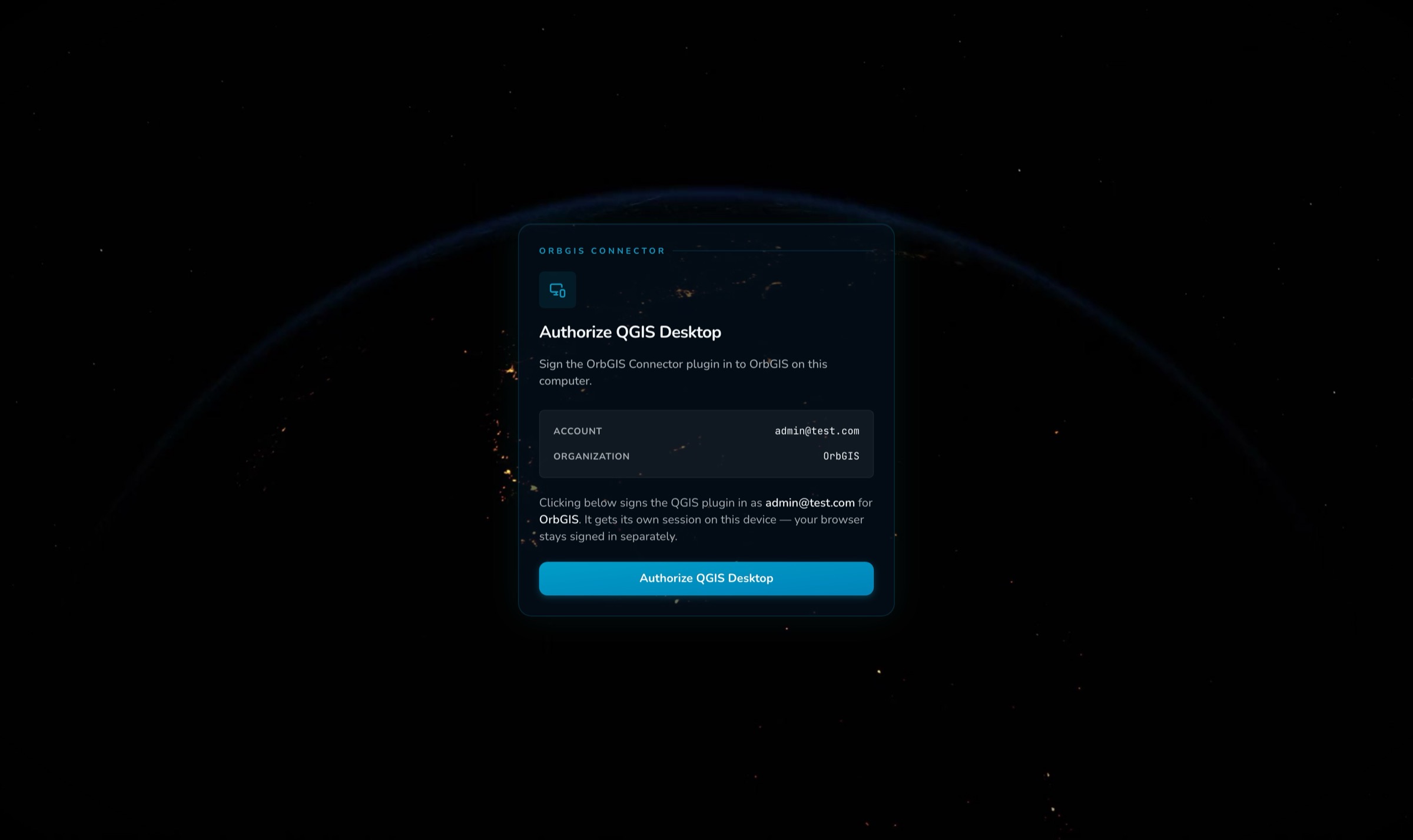
Sign in opens your regular browser; approve, and the panel shows who you are. No password is ever typed into QGIS, and your sign-in is stored securely.
Every layer in the catalogue has an Add to map button. One click and it's in your project, in its own coordinate system. SWEREF 99 in, SWEREF 99 out.
Edit with the full QGIS toolbox, snapping, topology checks, the field calculator, then Save Edits sends everything back to OrbGIS in one go. A shaky connection retries by itself.
When you finish an editing session, OrbGIS updates the layer behind the scenes, so web maps show your changes at every zoom level without you doing anything.
Drag a layer from the Layers panel onto the Upload drop zone and it becomes a hosted layer in your portal, big files welcome.
The plugin talks only to OrbGIS and signs in the same way you do, there are no database credentials on anyone's computer, and your organization's data stays just as protected as on the web.
Free and open source, just like QGIS itself. Add our plugin repository once and updates arrive through QGIS's own plugin manager.
Install the OrbGIS Connector, sign in from QGIS, pull a hosted layer onto the canvas, and push your edits straight back to the portal.
→The OrbGIS Connector brings your portal into QGIS: browse your layers, load them into projects, edit live, and publish new datasets back, free and open source.
→Datasets are OrbGIS’s working unit: hosted feature layers and attribute tables with typed fields, relationships, statistics, and vector tiles behind every map.
→Work in the CRS your organization actually uses. SWEREF 99, ETRS89 grids and more are first-class citizens, not everything is forced through Web Mercator.
→No demo call. No sales funnel. Sign up to make your first map.